
Residents in King County should prepare for possible disruptions and delays on Thursday evening and this weekend as the region faces two consecutive storm systems forecast by the National Weather Service.
View emergency communications and preparedness information for the city of Mercer Island at www.mercergov.org/News.asp?NewsID=2084. Sign up to receive emergency communications from the City of Mercer Island at www.mercergov.org/AlertSystem.
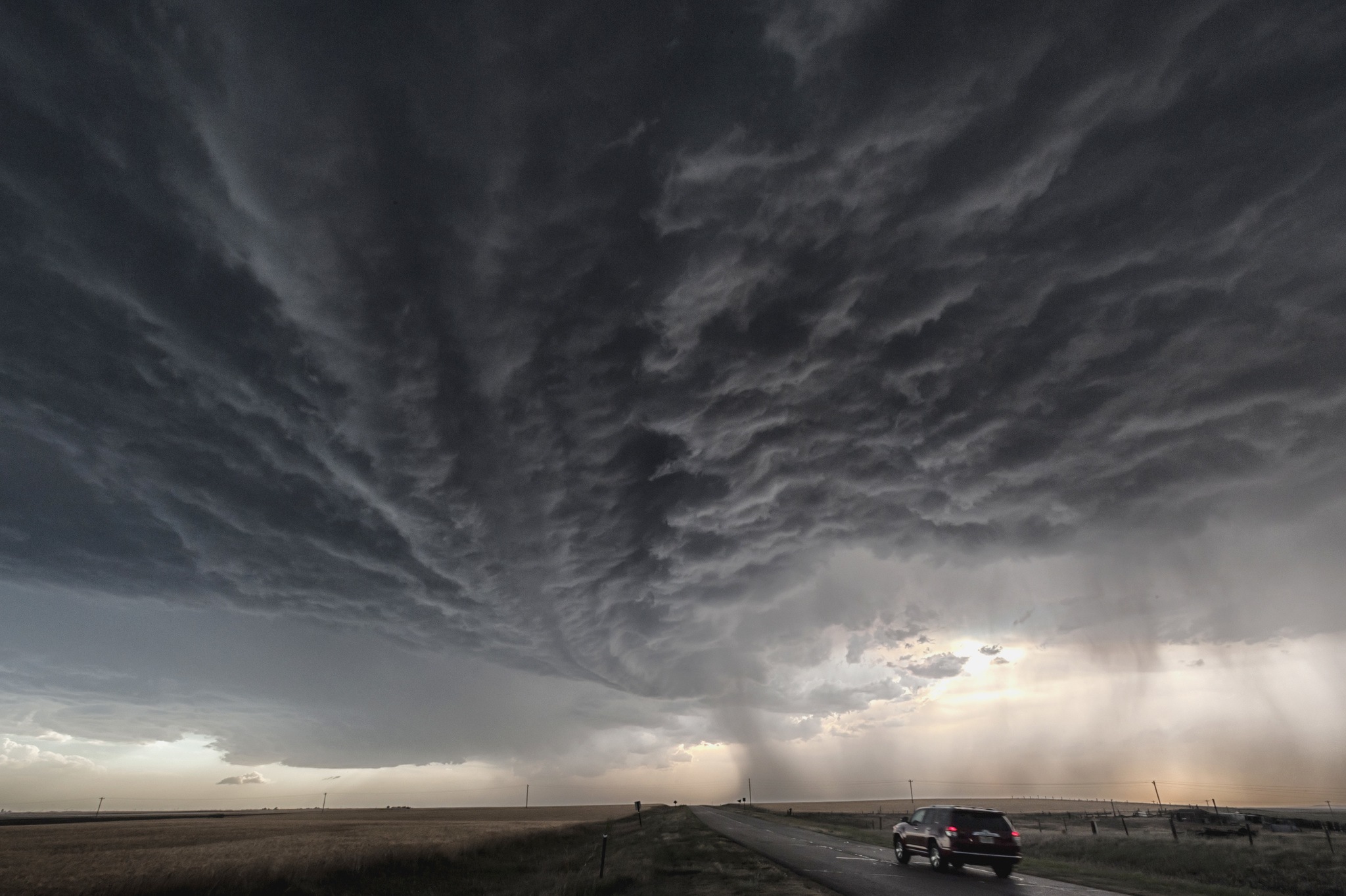
The National Weather Service is forecasting that a system over the Eastern Pacific will move onshore over the Northwest on Thursday, producing heavy rains and strong winds.
Sustained winds may hit 30 miles per hour in King County, with gusts of 50 miles per hour or more. Since many trees still have their leaves, these strong winds could bring down tree branches. A High Wind Warning is in effect from 6 p.m. Thursday to 7 a.m. Friday.
The weather might create potential travel delays, power outages and temporarily closed roads. The King County Department of Transportation recommends public transit riders and people who travel unincorporated county roads monitor weather reports and connect to information available from King County, including travel alerts.
Get information on preparing for and responding to utility outages on the King County Emergency Management website.
The combination of wind and rainfall increases the possibility of clogged storm drains and urban flooding. Sudden bursts of rainfall can temporarily make roads impassable. King County’s My Commute page is a key resource for monitoring the status of closed roads. Stay up to date with river flooding information by visiting kingcounty.gov/flood.
Regional updates will be posted on the King County Emergency blog.
Road Services crews are on rotation and available to respond to reports of blocked roadways. For your safety, never drive through standing water and respect signs marking closed roads.
Metro Transit supervisors are staffing the agency’s control center and actively monitoring the forecast and changing weather conditions. They are prepared to adjust transit service if routes become blocked.
King County Airport personnel will be monitoring airfield conditions during the period of high winds and heavy rain.
Resources:
-Sign up for Metro Transit Alerts (text, email, tweets via @kcmetrobus, see RSS feed via desktop or mobile RSS reader)
-Sign up for King County Road Alerts (text, email, tweets via @kcroads)
-Find storm preparedness tips at Take Winter By Storm
-Get information on all hazards affecting the region delivered right to your phone or email by registering for ALERT King County at www.kingcounty.gov/ALERTKingCounty
What you can do to help before and during the storm:
-Clear storm drains of leaves and debris. Most street flooding is caused by clogged storm drain grates.
-When driving, if the power is out and traffic signals are not working, treat the intersection as a four-way stop.
-Keep clear of fallen utility lines and do not drive around barricades; they are there for a reason
-Do not drive over fallen lines and stay in your vehicle if a power line falls on your car.
-If you don’t have electricity prevent poisoning from carbon monoxide by only using generators outside away from doors, windows and vents – never indoors — never cook inside with charcoal or gas grills and don’t try and heat your home with your gas stove.
